Geoloc Surveyors
About Geoloc Surveyors
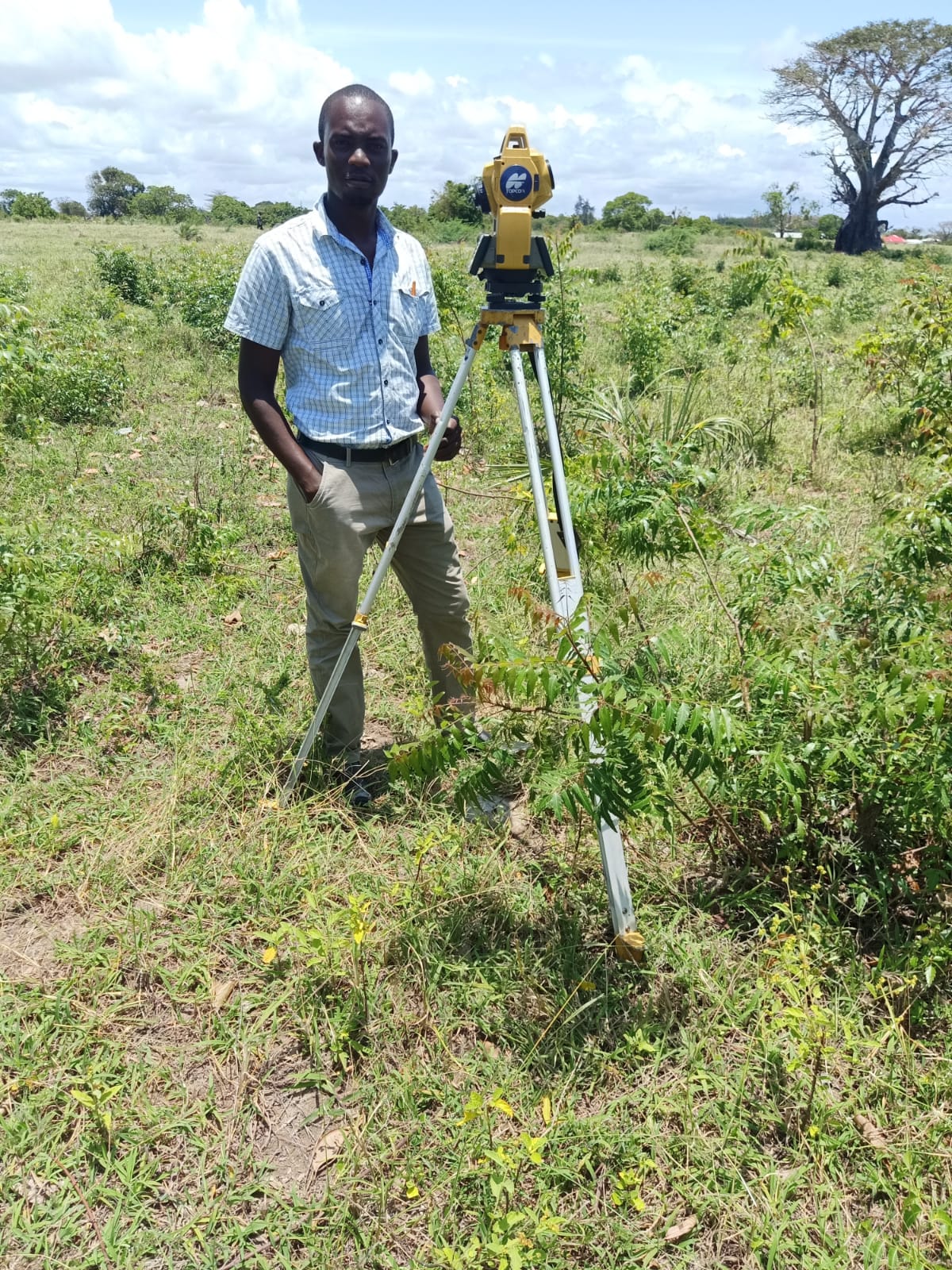
Geoloc Surveyors is a consulting firm mainly dealing with land planning, Topographical survey, Land Sub-divisions and Engineering survey
Plan of Subdivision
Surveying
Surveying or land surveying is the technique, profession, art, and science of determining the terrestrial two-dimensional or three-dimensional positions of points and the distances and angles between them. A land surveying professional is called a land surveyor. These points are usually on the surface of the Earth, and they are often used to establish maps and boundaries for ownership, locations, such as the designed positions of structural components for construction or the surface location of subsurface features, or other purposes required by government or civil law, such as property sales.
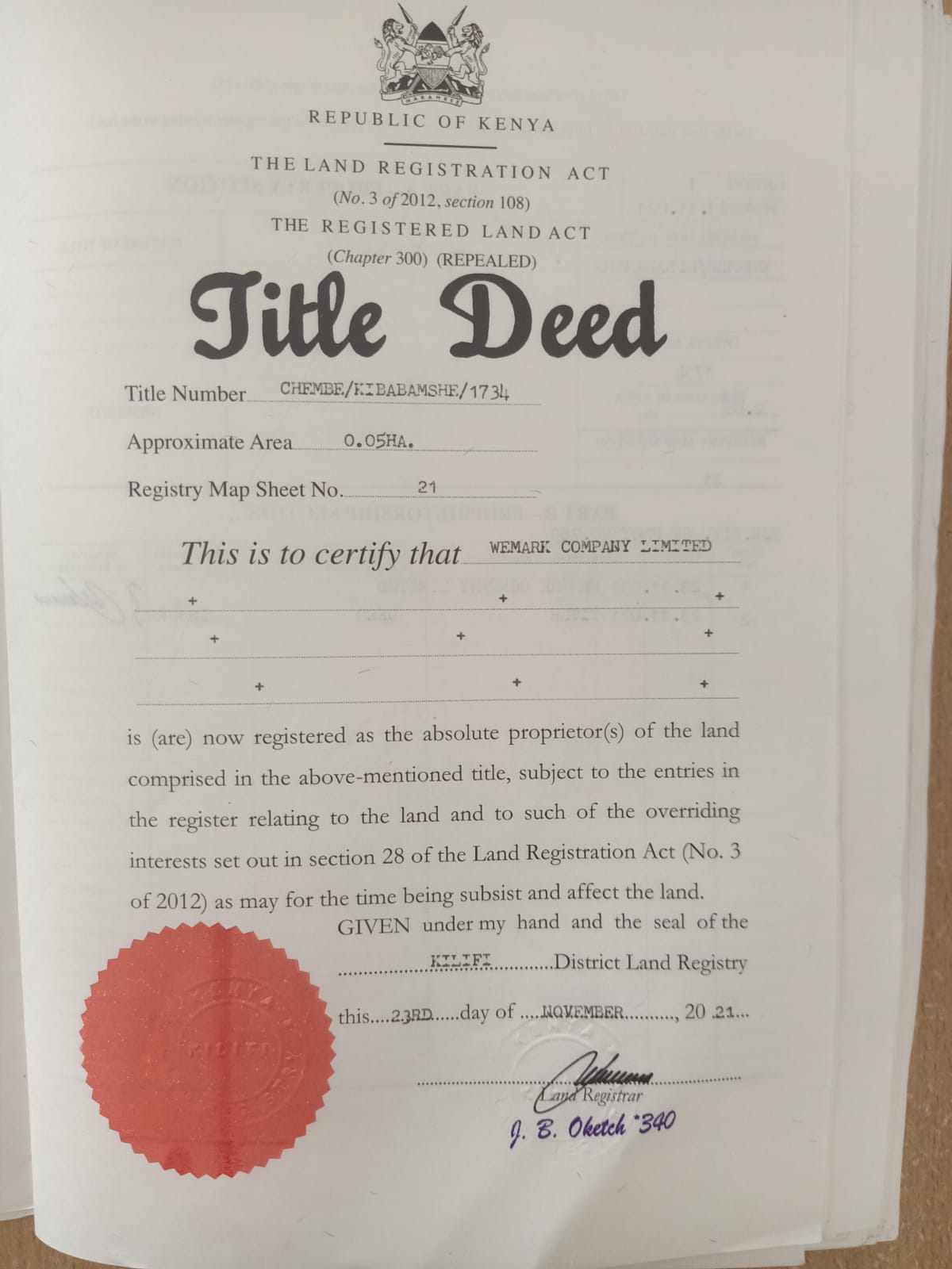
We are highly experienced with over 5years of practice in topographical survey, cadastral survey, engineering survey, land planning and title deed transfers. We pride ourselves in offering quality and professional services within the stipulated time.
Beacons
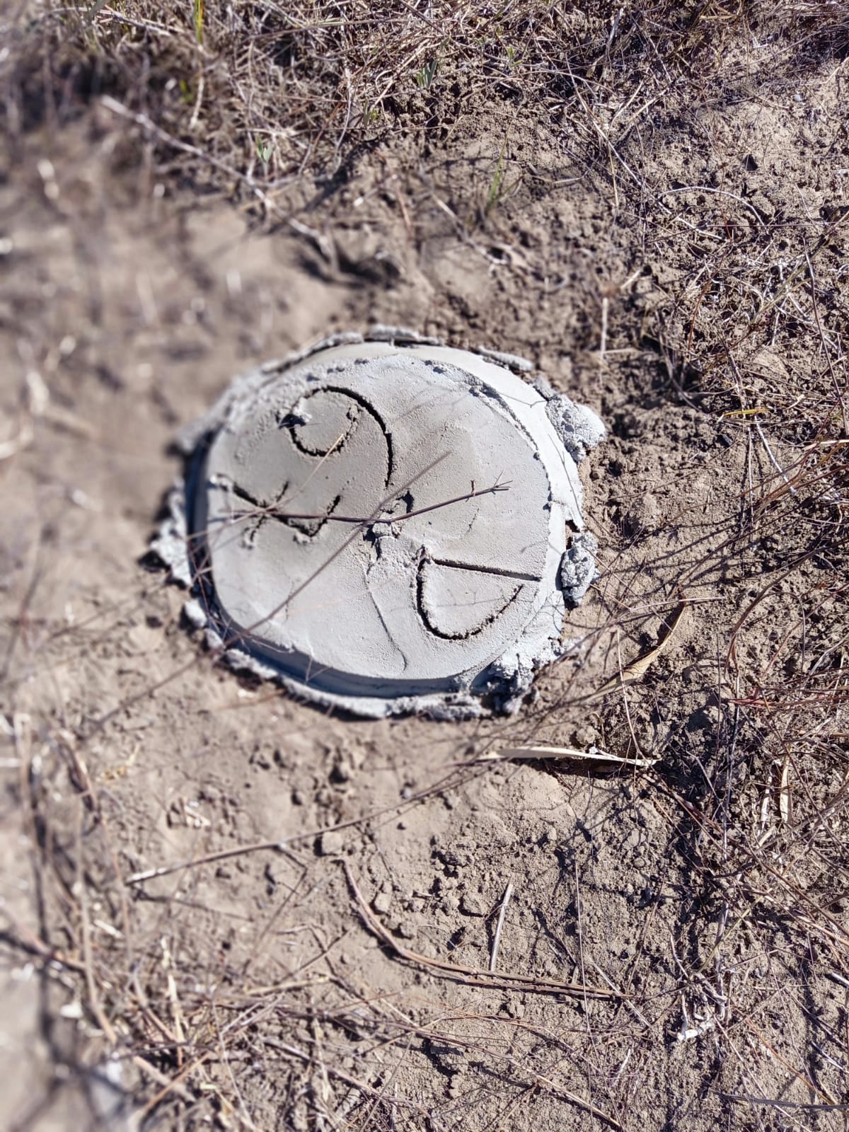
These are permanent marks that are put on the ground to demarcate land whereby their details, including coordinates, are kept at the respective survey offices and can be replaced in case they are lost or tampered with on the ground.
Our team is specialized in demarcating and beaconing as per the survey plan.
We also issue beacon certificates as per the guidelines of the Board of Surveyors of Kenya.
Ask any Question
Ask any Question
We are here to answer any questions you may have and create an effective solution to your property needs


